01 / 19
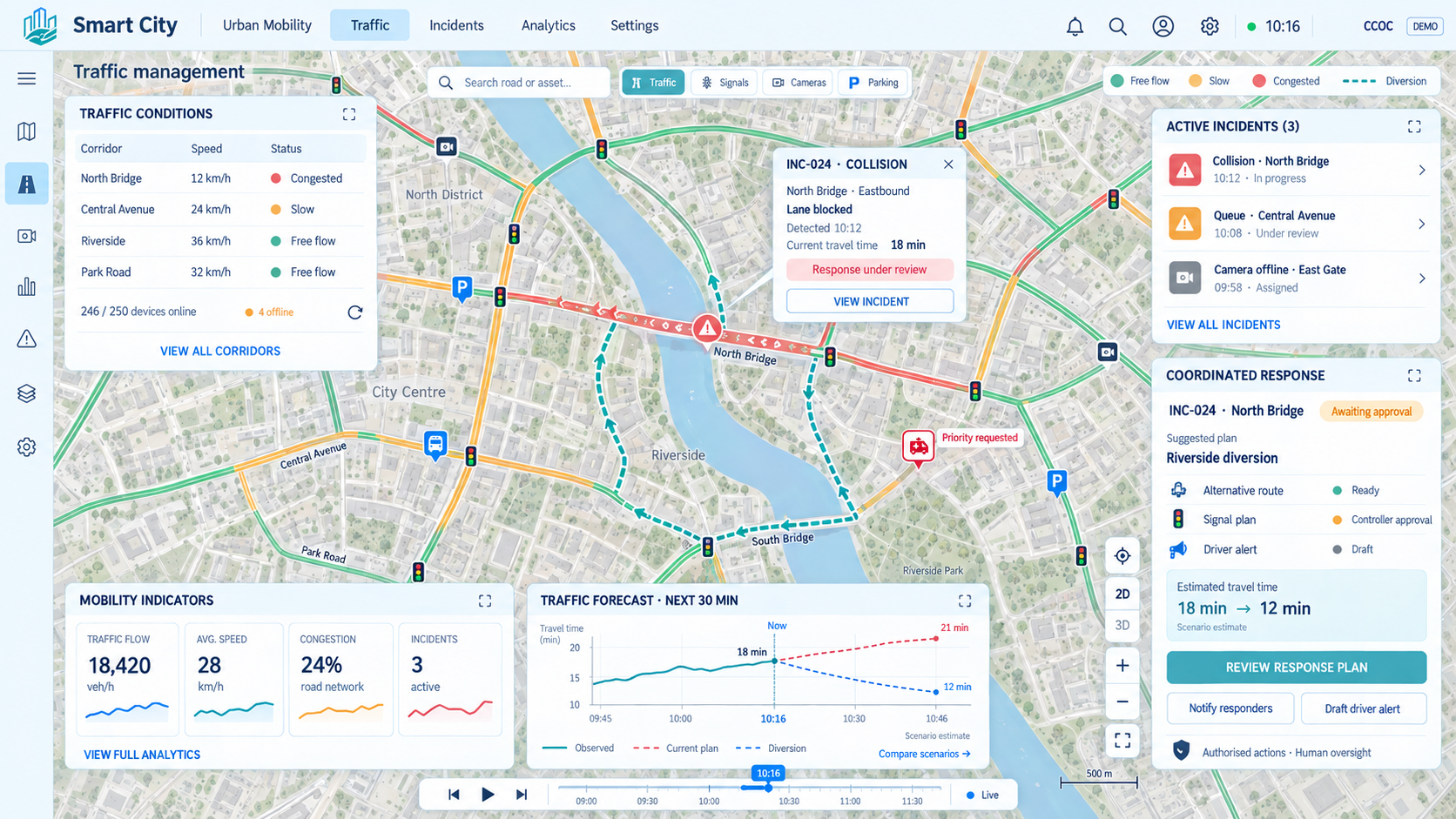
Traffic management
We monitor traffic in real time and detect congestion and incidents. We enable smoother, safer and more efficient mobility.
Play videoOriginal video in English

NEC · Cloud City Operations Center
CCOC Platform: operational intelligence for cities, territories and infrastructure
The CCOC portal for intelligent, accessible and sustainable territorial management.
↓Operational intelligence
One shared vision. Endless possibilities.
Use casesCurrent situation
Challenges facing humanity
The world faces a combination of interconnected challenges that directly impact cities, territories and infrastructure, which must manage more complex services, more limited resources and growing demand for efficiency, sustainability and resilience.
Extreme events increase.Critical infrastructure is stressed.Adaptation and mitigation are required.
Demand for services grows.Housing and mobility saturate.Territorial pressure increases.
Availability decreases.Agriculture and industry are strained.Leaks and consumption must be managed.
Operating costs rise.Competition for materials grows.Circularity becomes critical.
Energy volatility rises.Transport and services are affected.The renewable transition accelerates.
Care demand changes.Services must become more accessible.Health and care systems are pressured.
Population and activity concentrate.Urban incidents multiply.Data-based planning is required.
Air, water and soil deteriorate.Health and productivity are impacted.Continuous monitoring is needed.
Essential ecosystems weaken.Environmental resilience decreases.Food systems and wellbeing are affected.
Opportunities
Technology acceleration
At the same time, science and technology are advancing rapidly across many areas of knowledge. Humanity has never had so many capabilities to measure, anticipate, optimize and transform reality.
Reduces energy dependency.Enables distributed generation.Requires forecasting and flexible management.
Connects assets and sensors.Turns signals into useful data.Enables real-time monitoring.
Increase coverage and capacity.Connect people, systems and objects.Support distributed critical services.
Store renewable energy.Stabilize demand and supply.Power clean mobility.
Improve efficiency and durability.Reduce weight and consumption.Enable more sustainable solutions.
Reduces local emissions.Integrates vehicle, grid and city.Requires smart charging.
Provides Earth observation.Improves communications and navigation.Creates new scientific capabilities.
Detects complex patterns.Anticipates risks and demand.Optimizes operational decisions.
Accelerates diagnosis and prevention.Improves health and food systems.Requires ethics and governance.
Automates repetitive tasks.Operates in difficult environments.Increases precision and safety.
Opens new forms of computation.Solves highly complex problems.Boosts simulation and optimization.

Smart Cities
Digital intelligence to transform cities, territories and infrastructure
At the convergence of major global challenges and unprecedented technology capabilities, a historic opportunity emerges: transforming data, innovation and artificial intelligence into real solutions to better manage our environment.
Smart City platforms are much more than tools for cities. They are a new generation of strategic digital infrastructure able to connect sensors, systems, assets, services and people to turn scattered information into intelligent decisions, automation and real-time action.
Their value is not limited to urban environments. Wherever there is a complex environment —a city, port, airport, campus, hospital, hydraulic infrastructure, tourism destination, island, farm or energy community— these platforms can act as an operational brain that helps anticipate risks, optimize resources, reduce costs and improve quality of life.
The future of Smart Cities is to evolve into territorial and operational intelligence platforms: solutions capable of bringing digital intelligence to any physical space, enabling more efficient, sustainable, resilient management prepared for the challenges of the coming decades.
Why choose us
Capabilities to operate better, decide earlier and transform with data
CCOC helps transform the management of a city, territory or infrastructure into a more connected, intelligent, efficient and data-driven model. The platform helps integrate scattered information, supervise services in real time, anticipate incidents, optimize resources and make decisions faster and more accurately.
Control the status of your city, territory or infrastructure in real time from a single integrated georeferenced view.
Make decisions with objective, comparable and updated KPIs, not only perceptions or scattered information.
Access key indicators, trends, alarms and maps from dashboards adapted to technical, management and executive profiles.
Reduce management uncertainty with consolidated, updated and action-oriented information.
Combine IoT data, cameras, maps, corporate systems and analytics to enrich operational understanding.
Centralize alarms, alerts and critical events to prioritize action and avoid losing relevant information.
Anticipate congestion, failures, saturation, environmental risks or operational needs through predictive analytics.
Plan resources according to expected demand, not only historical data or reactive decisions.
Evaluate scenarios before acting: traffic changes, consumption, events, occupancy, emergencies or new public policies.
Coordinates specialized agents to analyze urban data, support users and decisions, and automate tasks across traffic, security, mobility, energy and emergencies in an integrated, traceable, real-time environment.
Detect incidents earlier, coordinate teams better and reduce response times for critical events.
Automate alerts, rules, workflows and actions to reduce manual tasks and improve operational efficiency.
Anticipate asset and infrastructure failures before they create incidents, high costs or service impact.
Use human, technical and economic resources better, allocating them where they create the most impact.
Reduce extra costs caused by inefficiencies, duplication, unnecessary travel, reactive maintenance or lack of coordination.
Supervise outsourced services through indicators, evidence, alarms and operational tracking.
Increase perceived quality for citizens, users, visitors or customers through more agile, measurable and personalized services.
Offer faster, more informed and personalized services through connected, data-oriented management.
Prioritize investments with evidence: real use, criticality, demand, economic impact and expected evolution.
Direct budgets toward higher-return actions, reducing poorly justified or duplicated investments.
Turn technology deployment into operational savings, better services, lower risk and stronger management capacity.
Normalize, catalogue and control data so it is reliable, traceable, interoperable and reusable.
Turn operational history into useful knowledge to analyze trends, justify investments and improve planning.
Publish reusable information for citizens, companies, universities and entrepreneurs, boosting local innovation.
Generate objective information to justify decisions, evaluate public policies and communicate results.
Generate reusable, documented and exportable datasets for analytics, transparency, innovation, reporting or open data.
Integrate systems, sensors, applications, cameras, APIs and external platforms into a common standards-based ecosystem.
Create new digital services on a platform that is already integrated, secure and ready to evolve.
Use cases
A FIWARE-based, open-source, technology-agnostic, scalable and interoperable platform that turns data into decisions.
We offer multiple prebuilt use cases, digital twins, predictive analytics, automation rules, intelligent agents and data spaces. We integrate information and services in a shared environment to monitor in real time, anticipate incidents, simulate scenarios and automate responses. We help cities, territories and infrastructure optimize resources, improve their services and grow at their own pace.
No use cases match your search.
Explore by domain
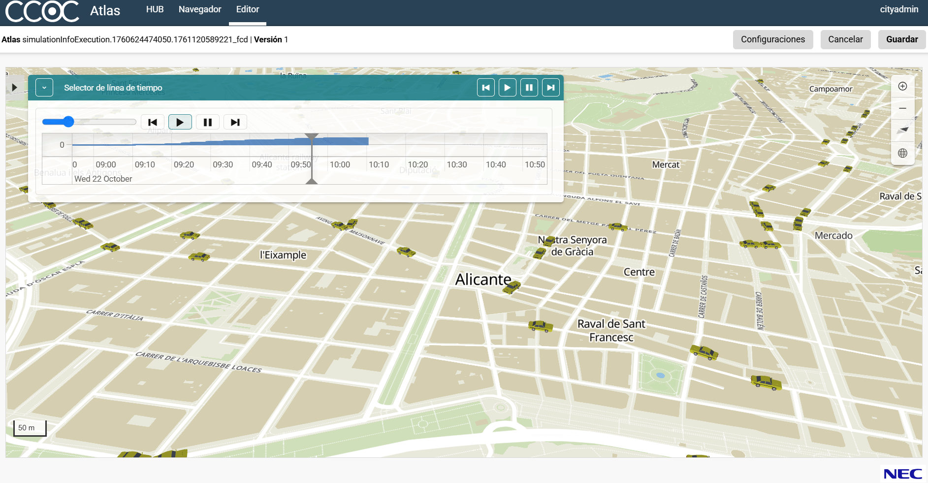
We monitor traffic in real time and detect congestion and incidents. We enable smoother, safer and more efficient mobility.
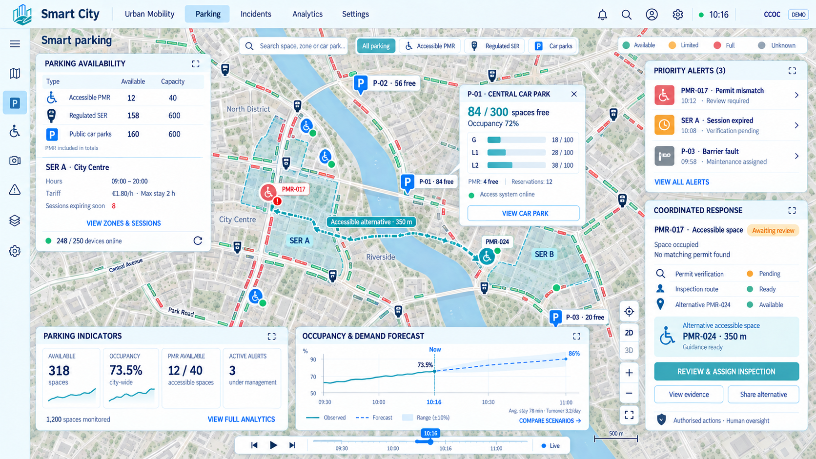
We display parking availability and analyze occupancy. We reduce search time and improve parking space management.
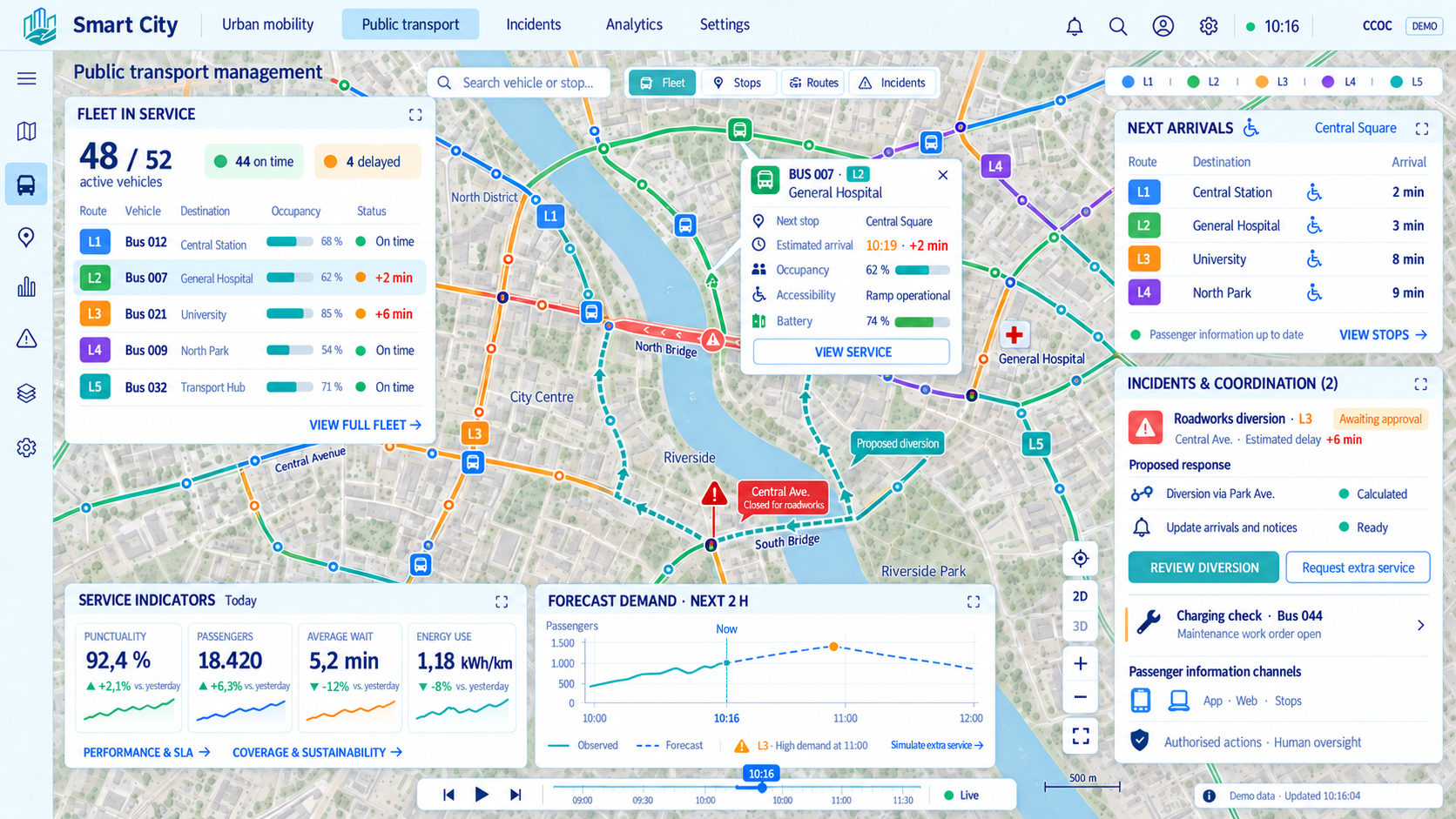
We integrate information on vehicles, schedules, occupancy and service quality. We make journeys easier and help match supply to demand.
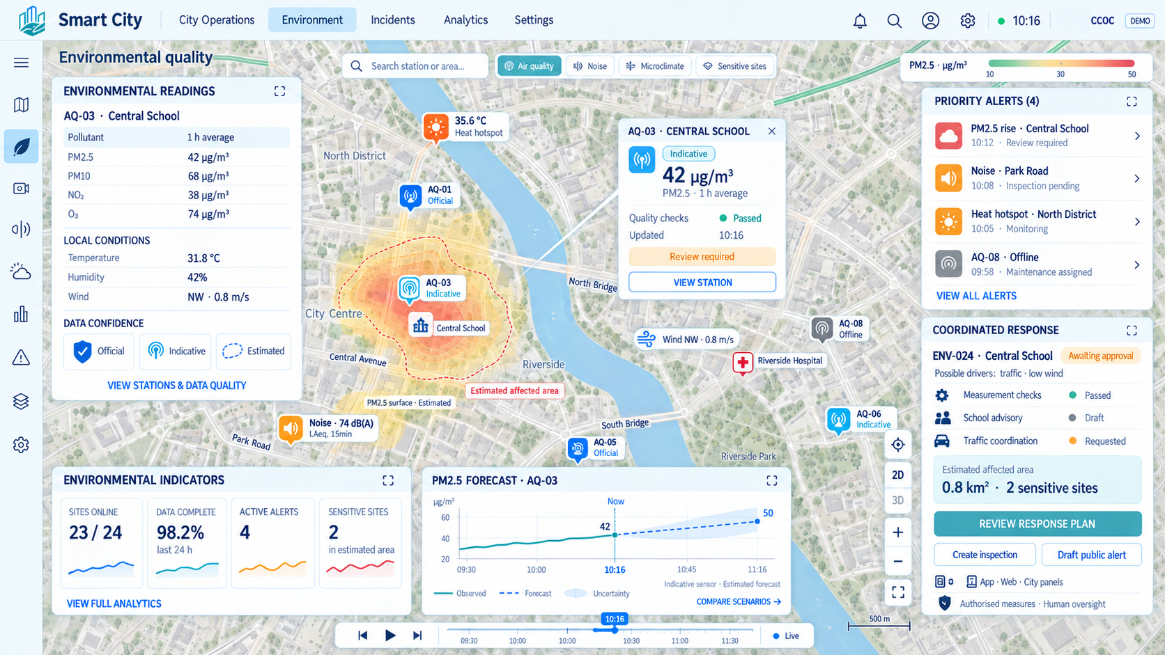
We monitor air quality, noise and environmental conditions. We detect adverse situations and support measures to improve the urban environment.
We monitor containers and support the tracking of collection and treatment. We optimize routes and frequencies to reduce overflows, costs and emissions.
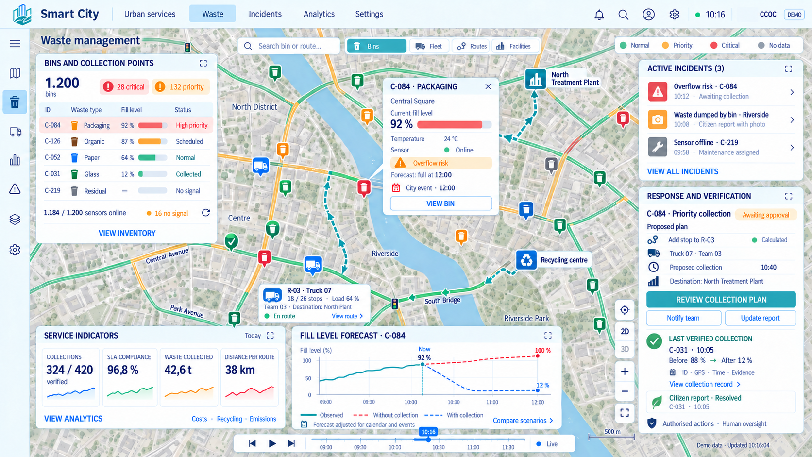
We supervise lighting fixtures and adapt lighting to the needs of each area. We reduce energy consumption and speed up fault detection and resolution.
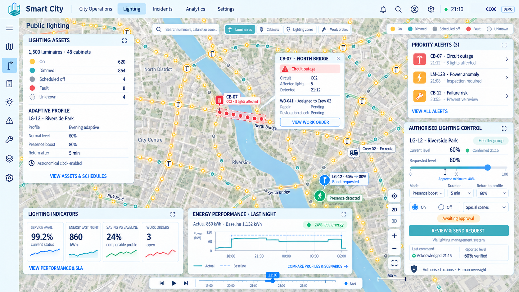
We monitor water consumption and detect leaks and unusual patterns. We identify savings opportunities and enable more efficient management.
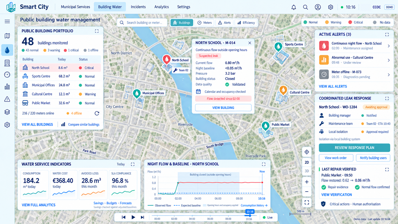
We adjust irrigation according to soil moisture, weather and vegetation. We save water and keep green spaces in better condition.
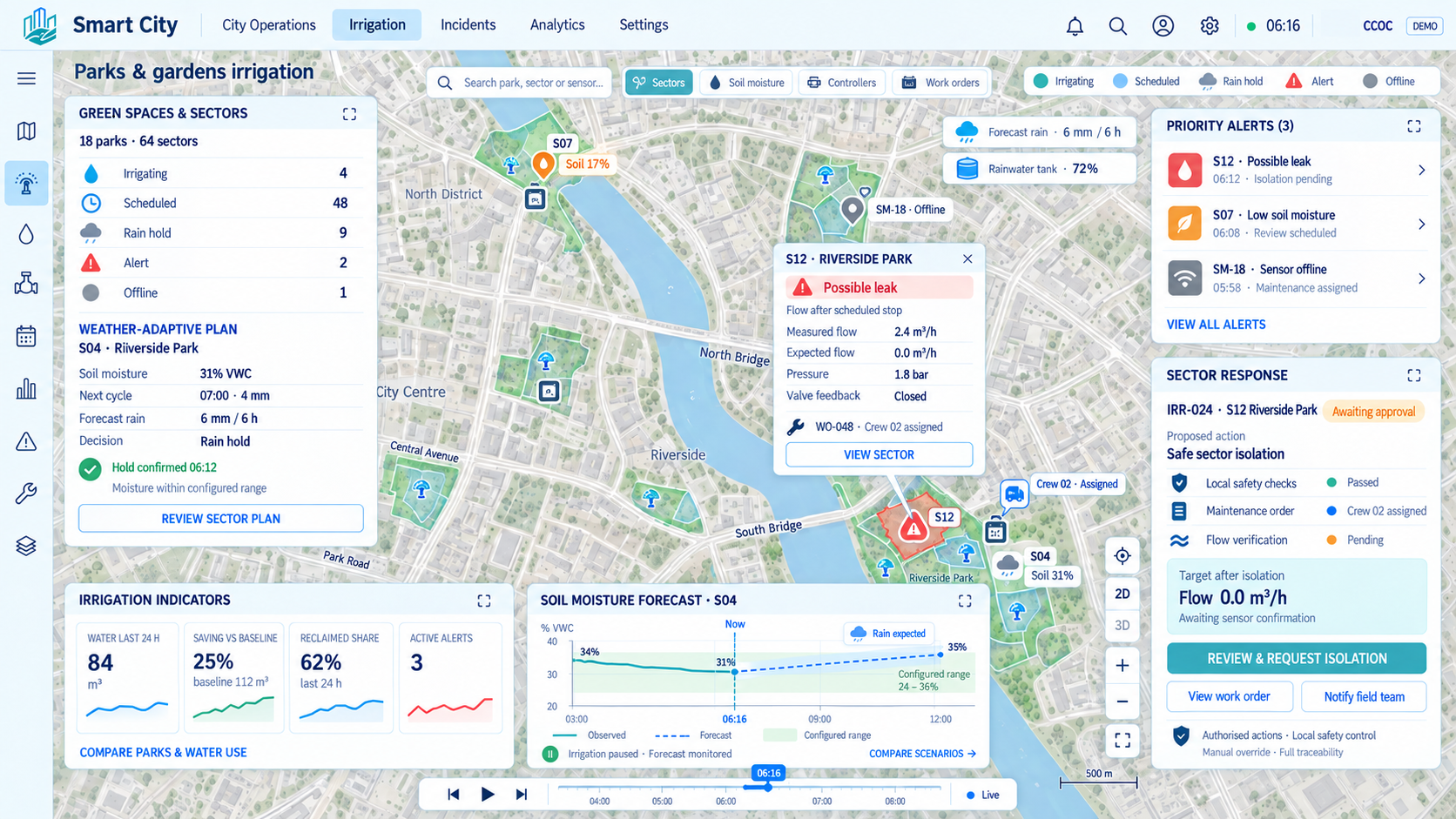
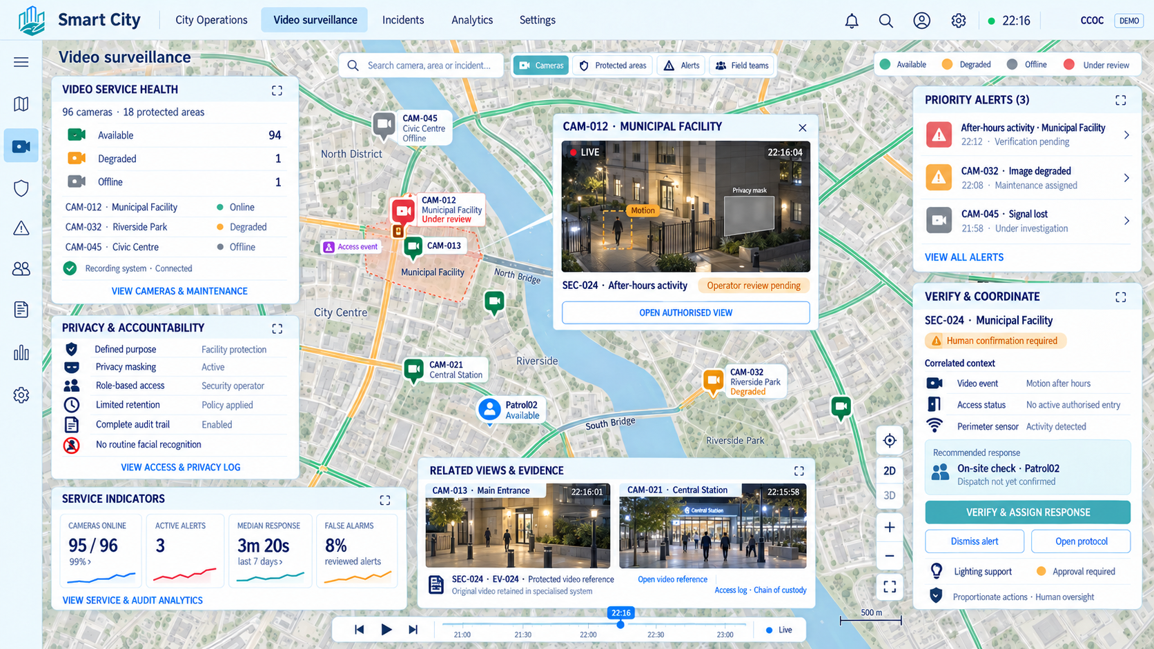
We integrate cameras and analytics to detect events and verify alerts. We improve incident response with controlled access and privacy protection.
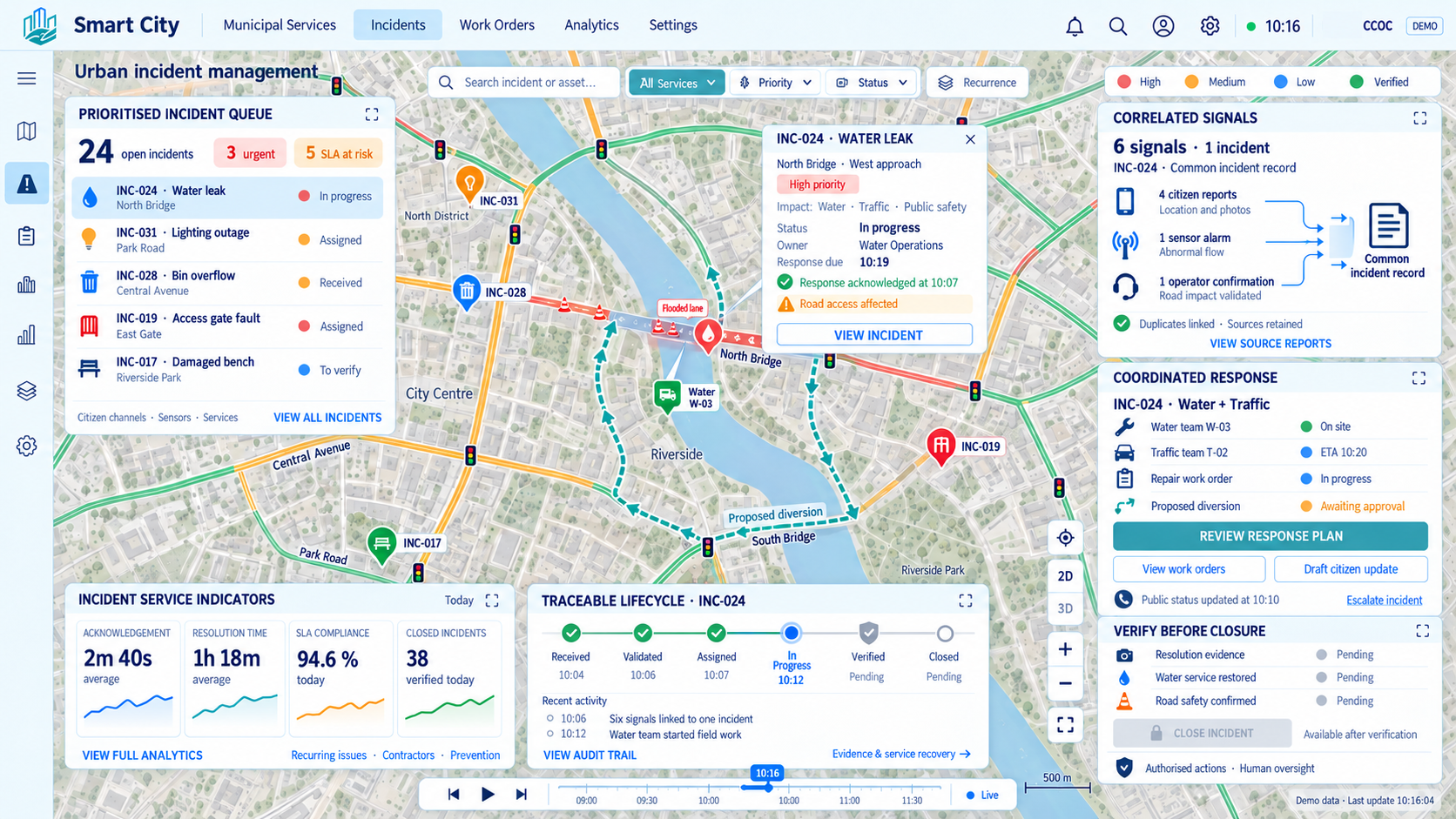
We centralize reports, assign responsibility and track each incident through to resolution. We speed up responses and improve coordination and service quality.
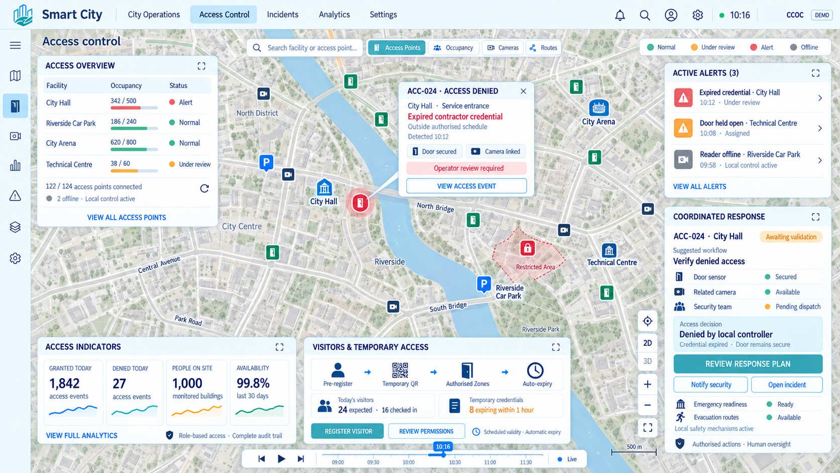
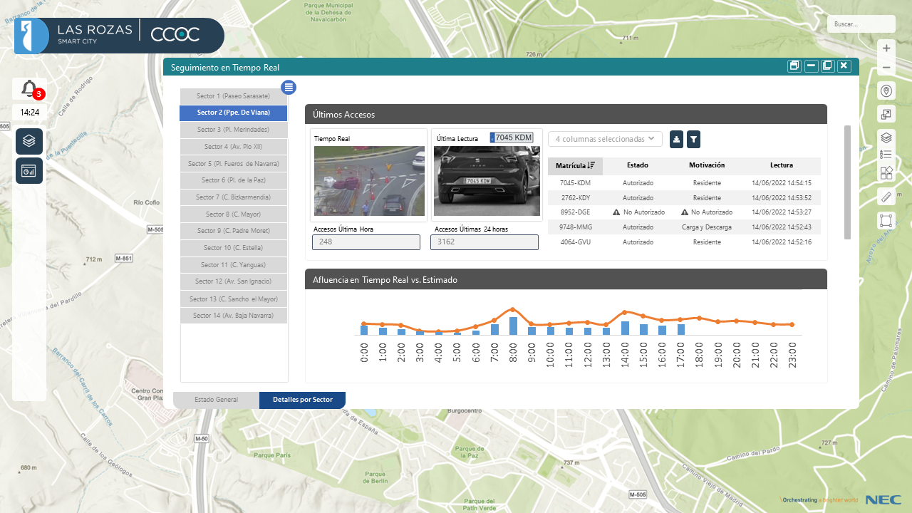
We manage authorizations and monitor people and vehicles entering restricted areas. We automate controls and enable secure, traceable access management.
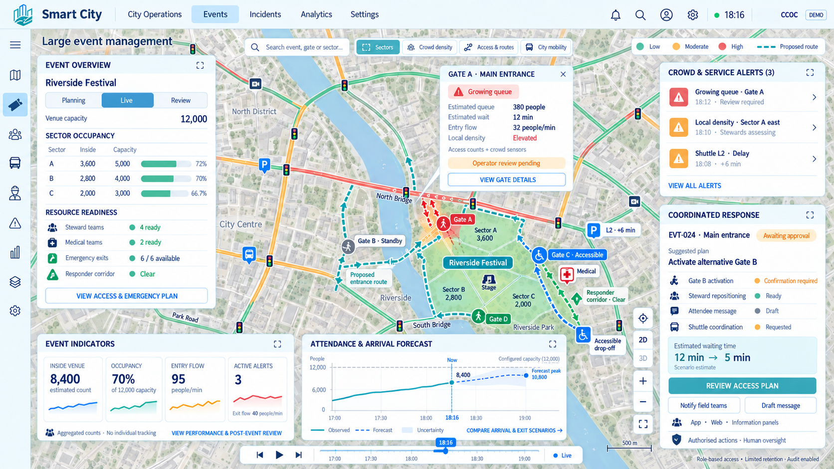
We monitor visitor flows, occupancy and mobility to detect crowding and risk situations. We coordinate municipal services and enable a safer, better-organized experience.
We monitor electricity consumption and detect peaks, anomalies and unnecessary use. We prioritize savings measures and verify their results.
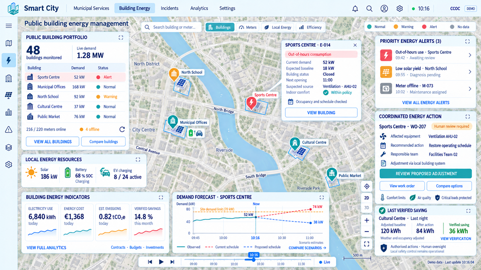
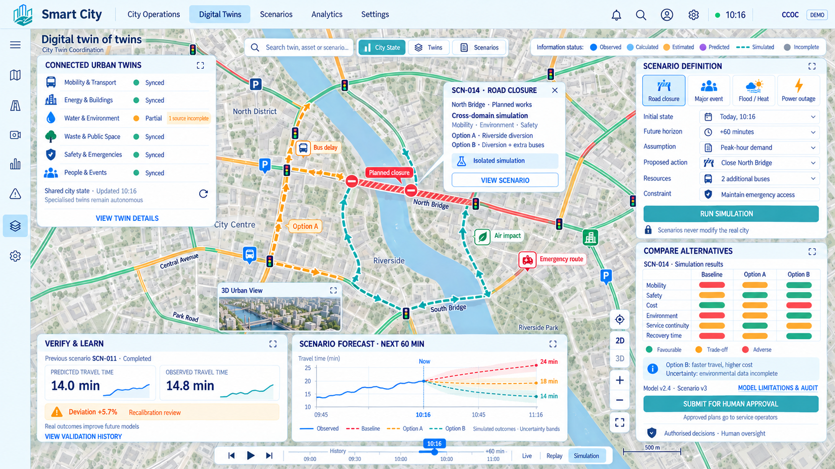
We connect digital representations of assets and services to data from their actual operation. We simulate scenarios to anticipate impacts and assess decisions before implementing them.
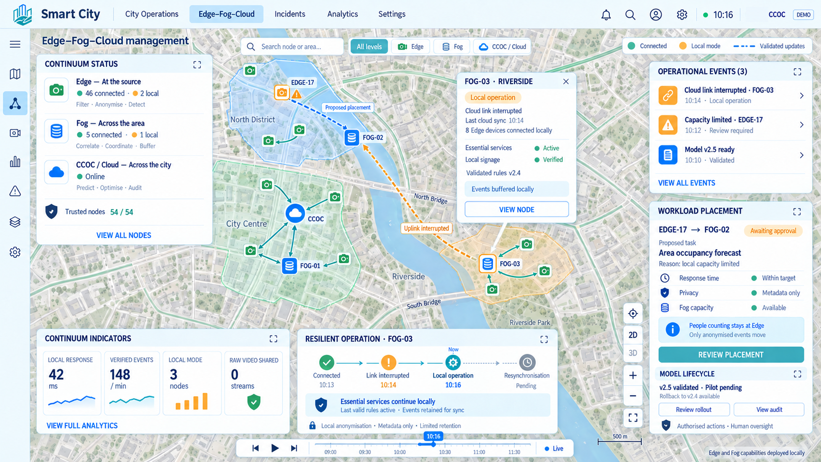
We distribute processing across devices, nearby nodes and the cloud according to each need. We respond faster and optimize communications and available resources.
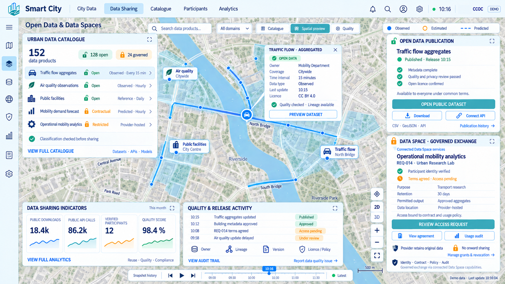
We publish open data and enable controlled data sharing between organizations. We promote transparency, reuse and the creation of new services.
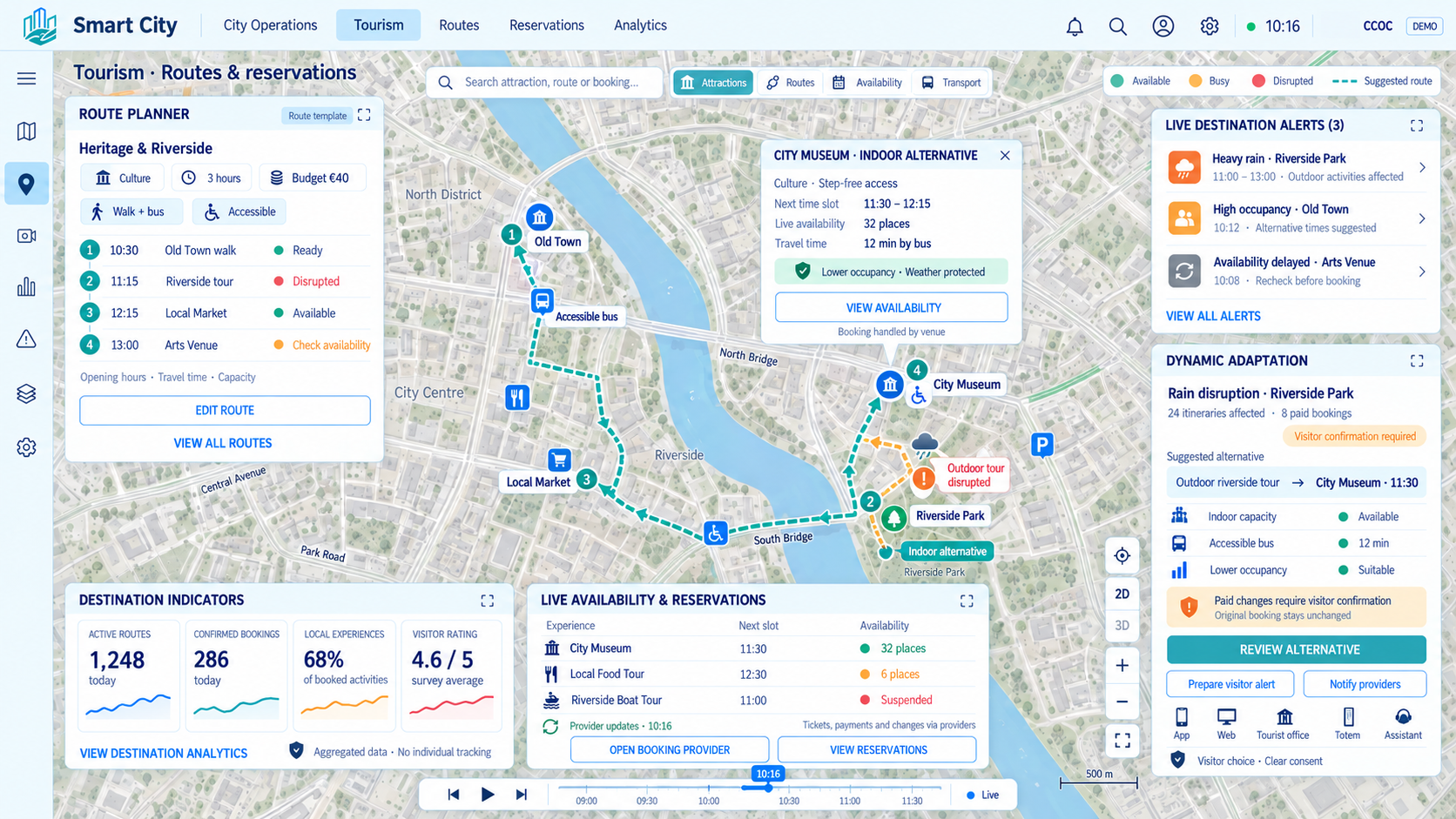
We support route planning and booking activities and experiences. We connect the destination’s offerings to simplify and enrich every visit.
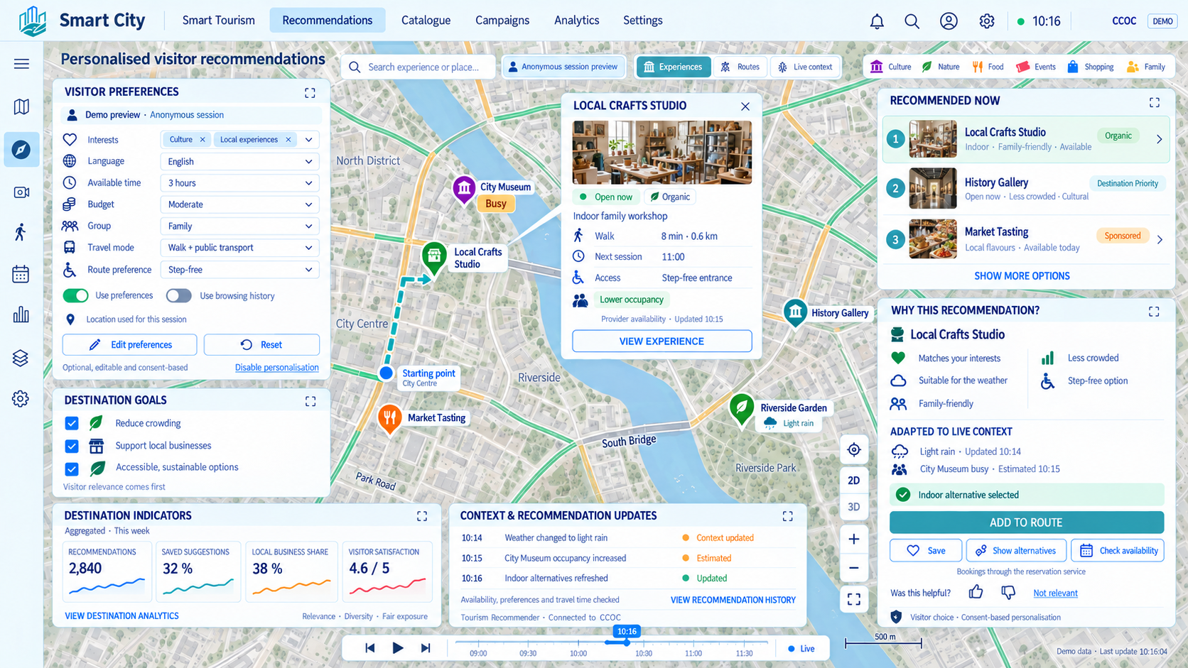
We recommend places, activities and routes based on visitors’ interests and context. We help them discover relevant experiences and distribute visitor flows more evenly.
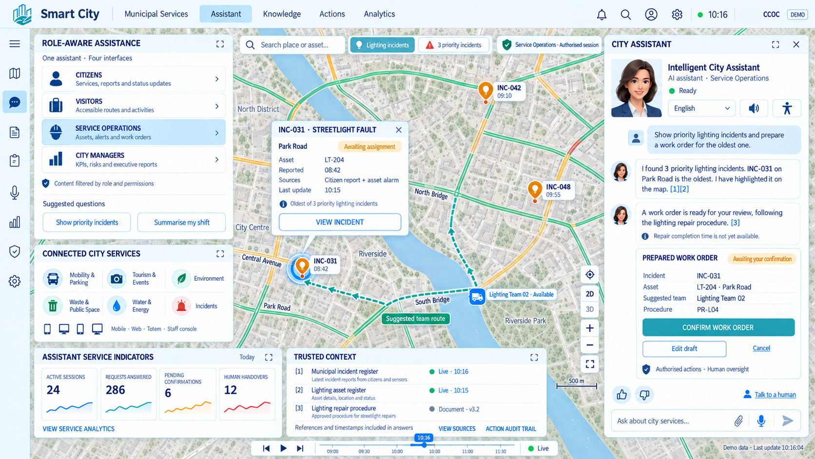
We offer conversational assistance to find information and access services easily. We guide citizens, visitors and managers with answers tailored to their needs.
Services
Services to accelerate CCOC implementation
We support cities, territories and infrastructure throughout the digital transformation process: from initial diagnosis and solution design to implementation, integration, operation, support and continuous evolution of CCOC. Our goal is to reduce risk, accelerate results and turn the platform into a real tool for intelligent management, connected operation and data-driven decision-making.
We analyze the starting point of the city, territory or infrastructure, identifying needs, priority use cases, available data sources, technology maturity and transformation roadmap.
We define complete CCOC-based architectures combining platform, sensors, communications, GIS, analytics, AI, multimedia, augmented reality, virtual reality and vertical applications.
We deploy CCOC in cloud, on-premise, hybrid or dedicated environments, adapting the solution to each client's technical, operational, regulatory and security requirements.
We connect CCOC with existing platforms, corporate systems, IoT devices, cameras, GIS, SCADA, ERP, CRM, apps, APIs, databases and external services.
We support the transition from previous platforms, data silos or isolated vertical solutions toward an integrated, interoperable and scalable model.
We build specific solutions for mobility, energy, water, waste, security, tourism, environment, critical infrastructure, ports, airports, campuses, industry and major facilities.
We incorporate predictive models, anomaly detection, simulations, business rules, response automation and dashboards to improve decision-making.
We integrate GIS, operational maps, geospatial layers, 3D models, multimedia visualization, augmented reality and virtual reality to improve territorial understanding.
We provide hosting, administration, monitoring, support, backups, service continuity and end-to-end platform operation.
We ensure updates, improvements, incident resolution, functional adaptation and CCOC technology evolution throughout the service lifecycle.
We train technical teams, public managers, operators and end users to ensure effective platform and use case adoption.
We provide specialist support in project definition, tender preparation, master plans, funding, standardization, interoperability and data governance.
We work with expert companies in complementary technologies to deliver complete, integrated solutions adapted to each challenge: IoT, communications, AI, GIS, multimedia, cybersecurity, AR/VR, analytics, sensors and sector applications.
Ecosystem
Partners to accelerate connected operations
We work with stable partners who have joined us in CCOC implementation projects across cities, territories and all kinds of infrastructure, helping us maximize service quality.
Real-time data capture from assets, services and infrastructure across the territory.
Secure and continuous data transmission from the field to CCOC.
Geographic representation of data, assets, events and services on operational maps.
Creation of interfaces, content and digital experiences for users, operators and citizens.
Visual supervision, access control and automatic detection of security events.
Physical deployment of sensors, cameras, equipment, communications and auxiliary elements on site.
Hosting, protection, continuity, monitoring and secure platform operation.
Design and integration of operational spaces to supervise and coordinate services in real time.
Development of new use cases, applied research and validation of emerging technologies.
Success stories
We are the operating system for many cities, territories and infrastructure

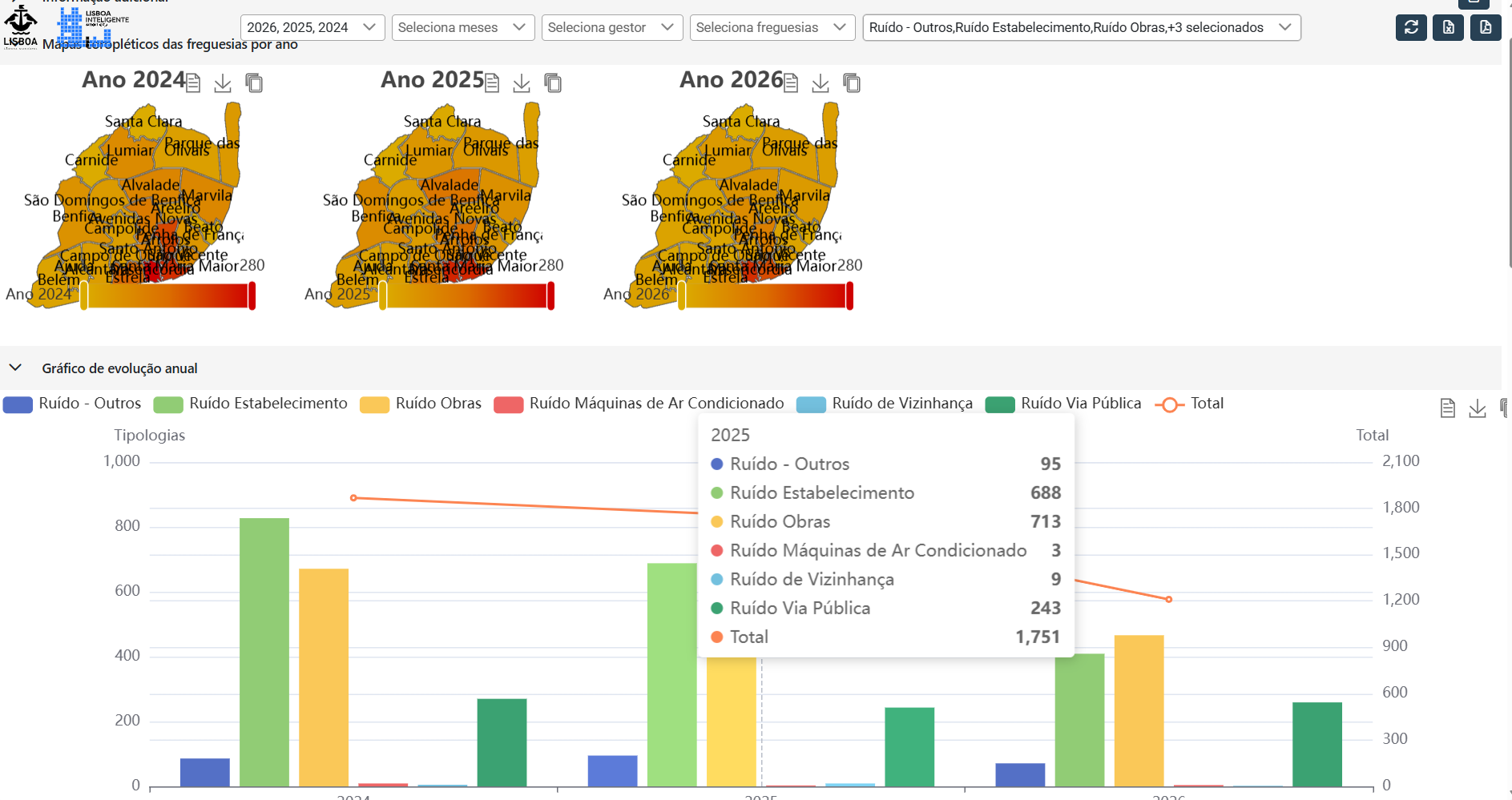
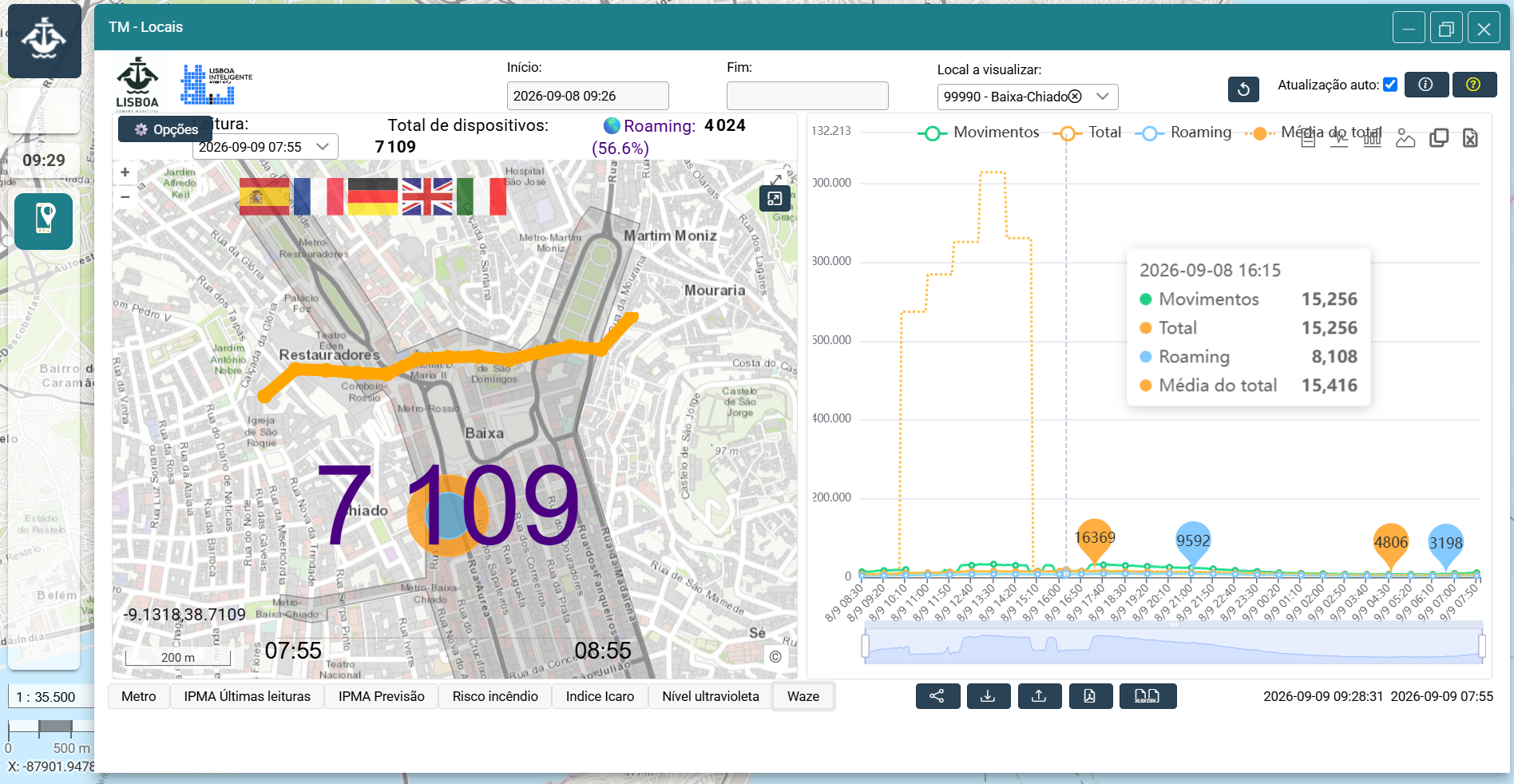
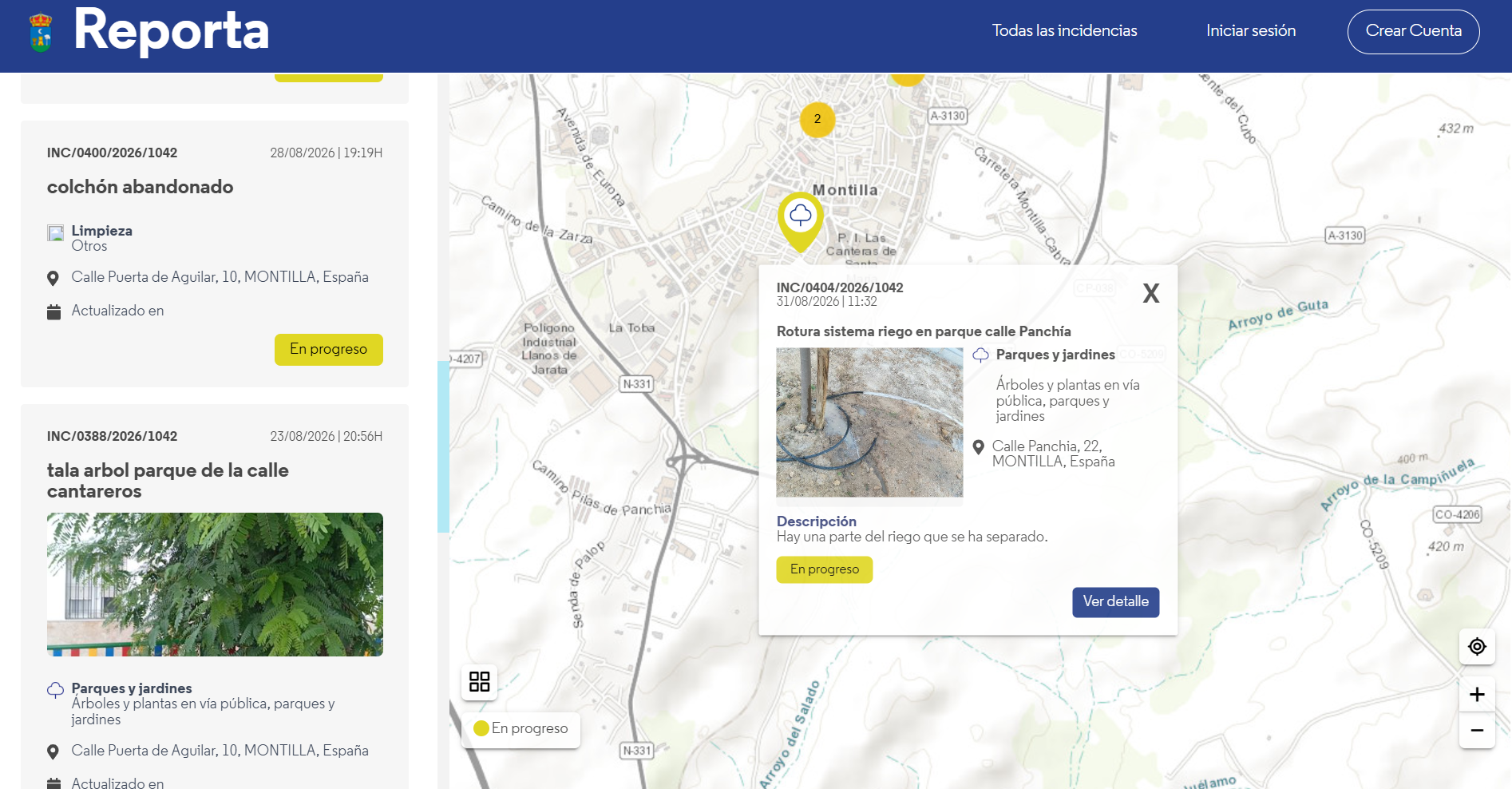
A solution for integrating and analyzing urban data, improving municipal management and citizens' quality of life.
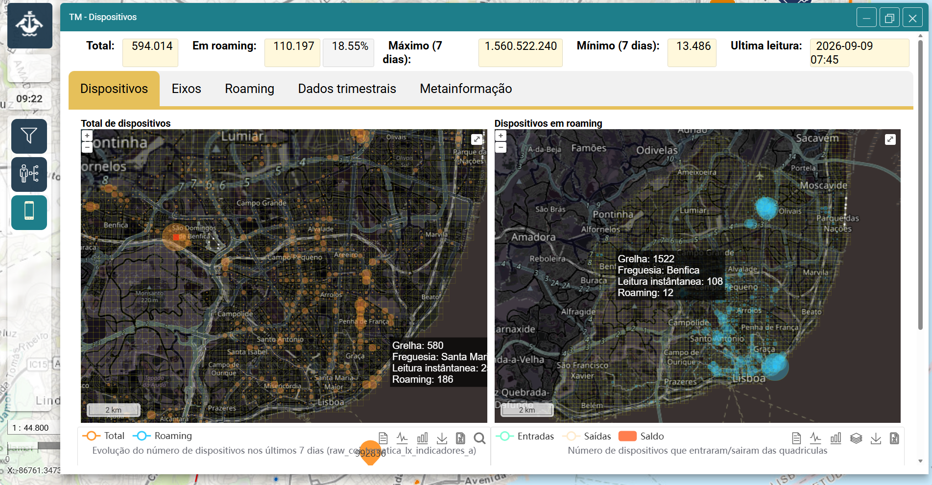

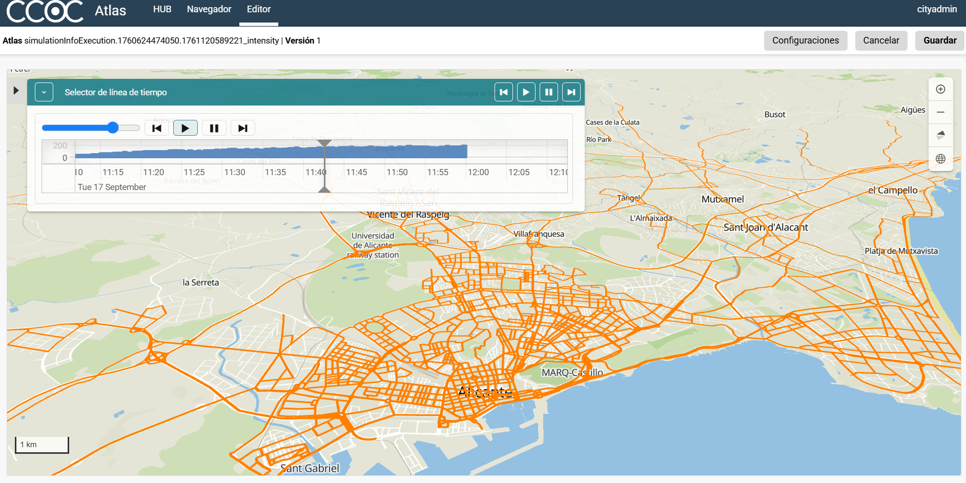
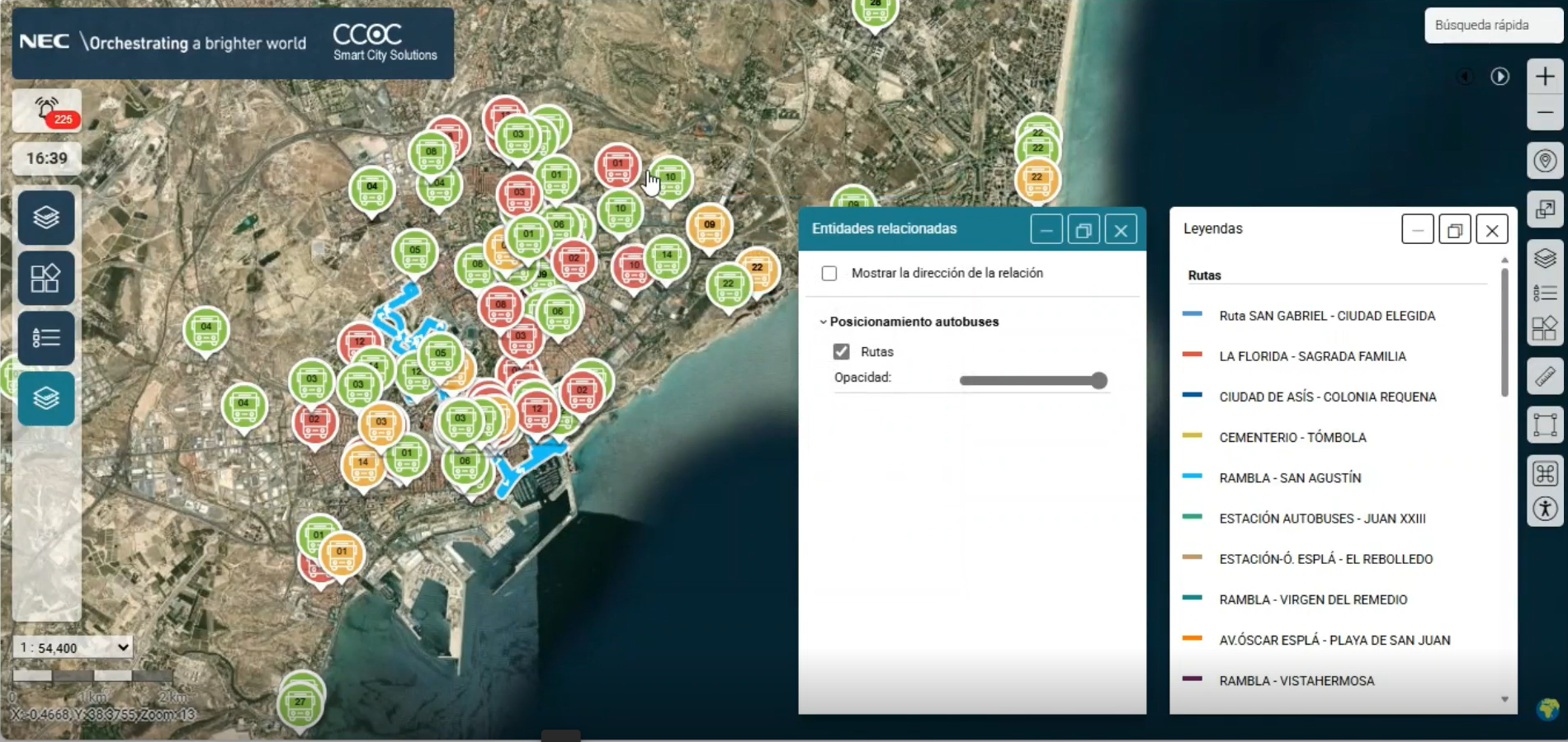
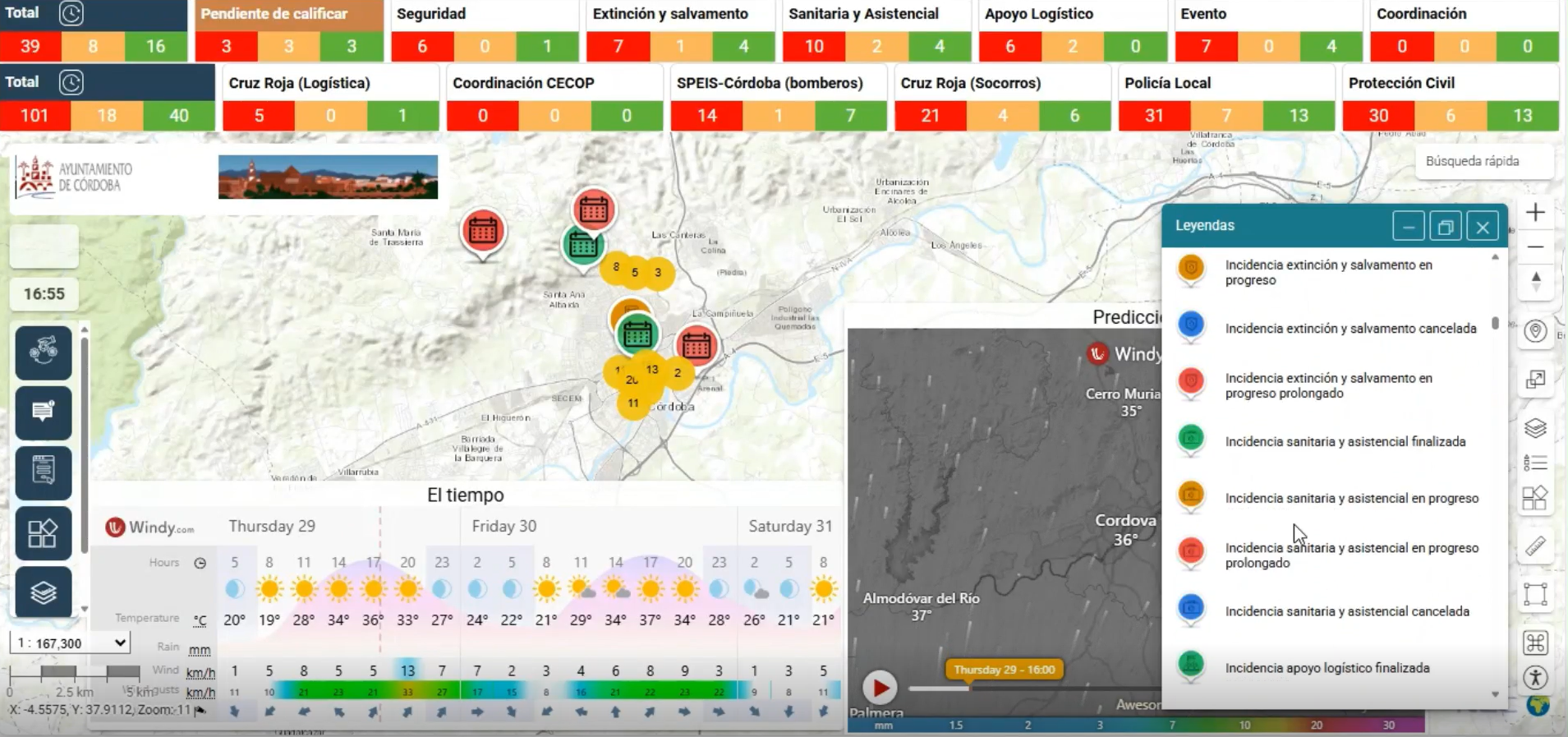
A solution for managing urban mobility through real-time data, advanced analytics and information for citizens.

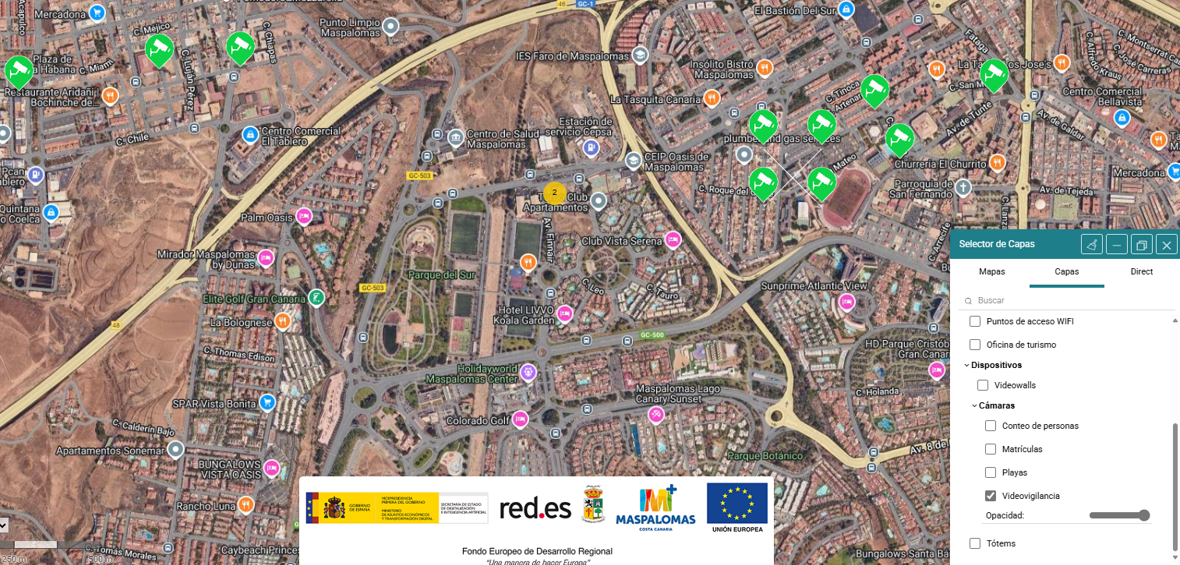
A solution to transform Maspalomas into a smart, safe and sustainable tourist destination through digital services and data-driven management.
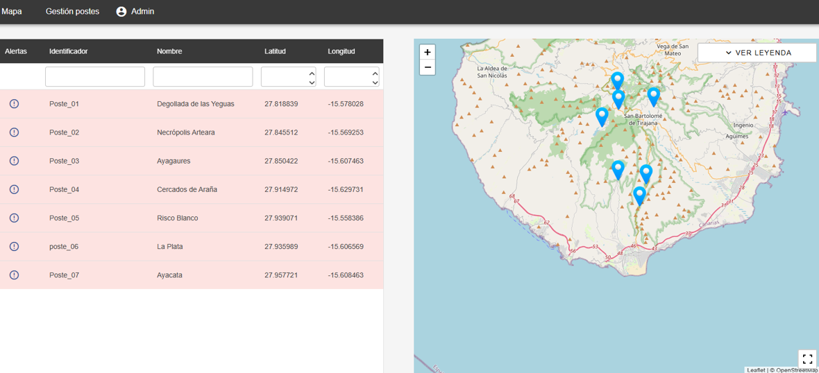
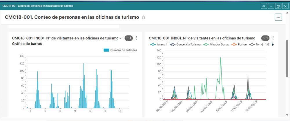
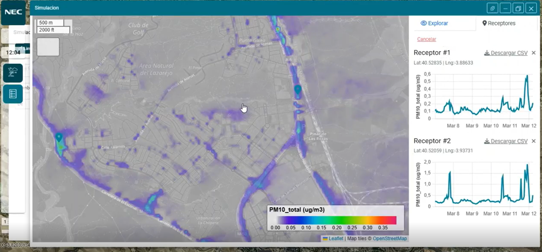
A smart platform designed to improve the tourist experience and extend its economic impact to local businesses and services.
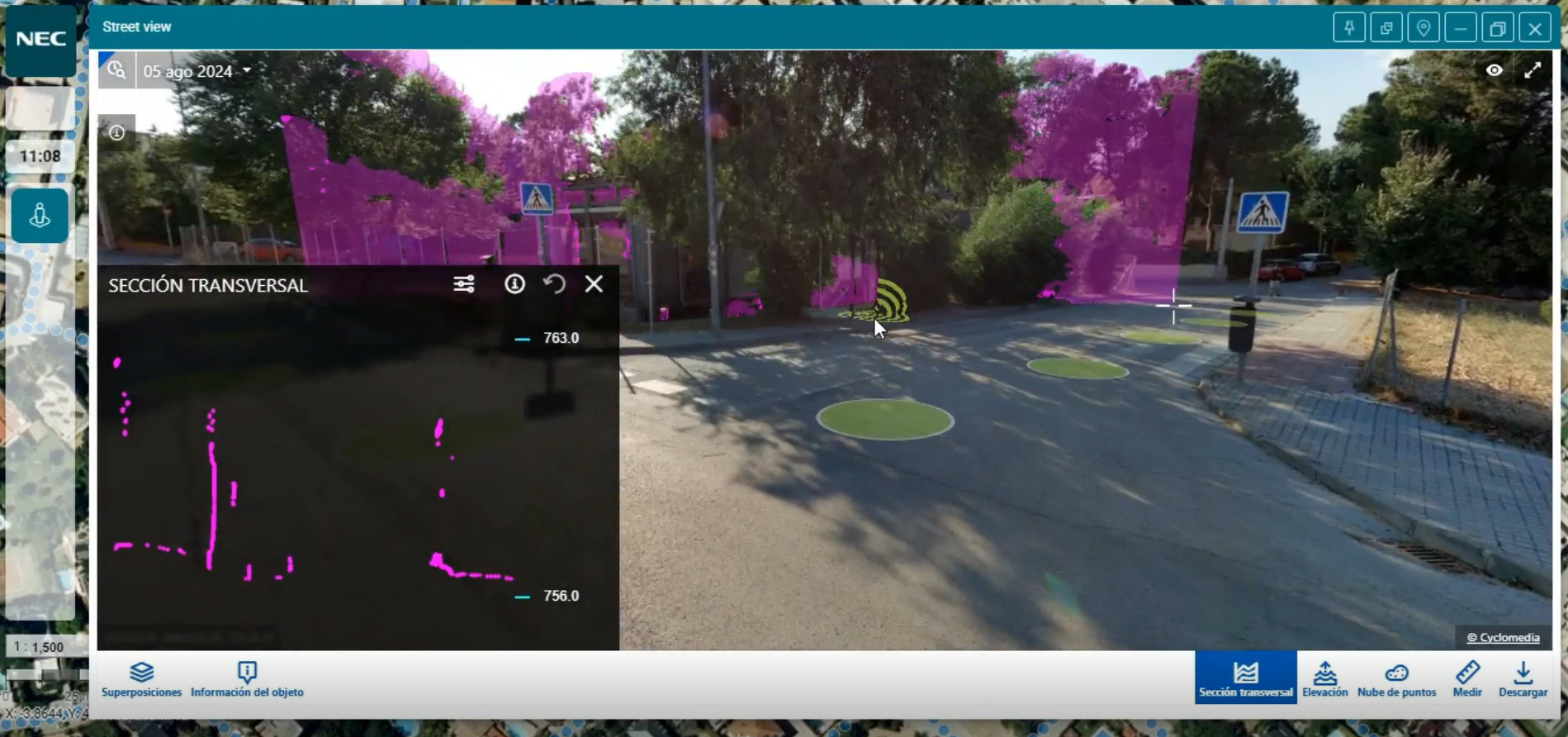

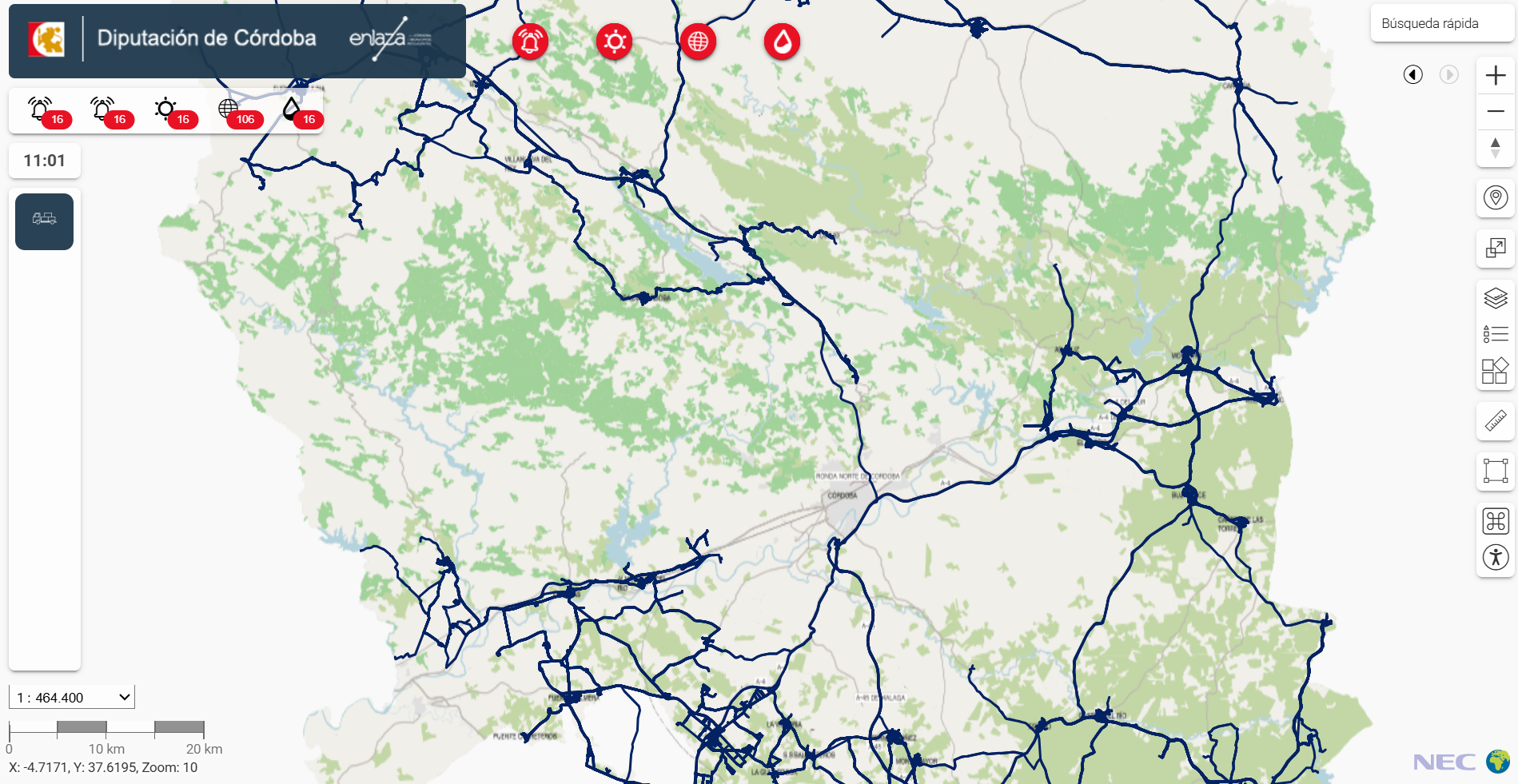
A provincial smart territory project designed to modernize and optimize municipal public services.

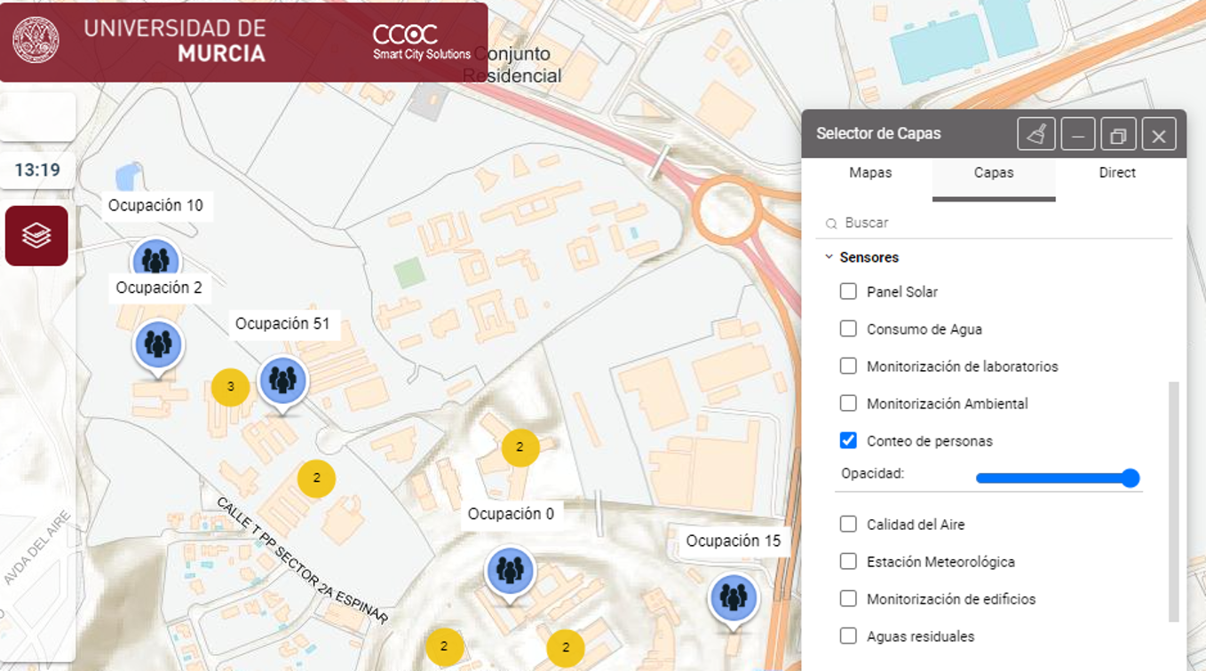
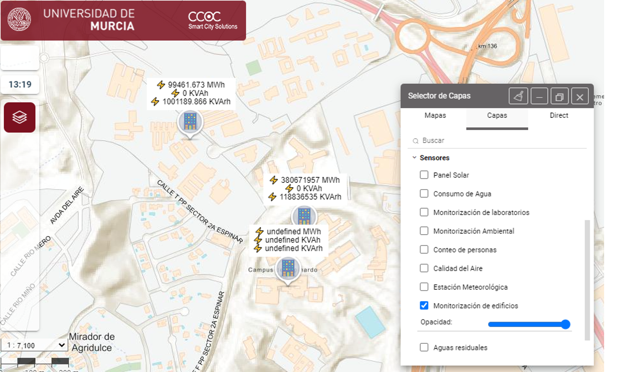
An experimental smart campus for research, education and improved university management.
 Global technology. Local impact.NEC · CCOC
Latest news
News
The “Descubre Las Rozas” project aims to transform the municipality into a Smart Tourism Destination, improving the visitor experience and its impact on the local economy.
Its purpose is to understand tourists’ habits, preferences, spending and movements in order to support data-driven decision-making.
It will make it possible to personalize recommendations, promotions and experiences, extend stays and redistribute visitors across different areas and businesses.
From a technology perspective, it will create a new Tourism vertical integrated into the COSMOS urban platform and digital twin.
This vertical will connect to SEGITTUR’s Smart Destination Platform, applying tourism interoperability and semantic standards.
It will include CRM and loyalty capabilities, campaign management, flow analytics, tourism recommendations, dashboards and digital services for visitors and businesses.
It will also integrate data from applications, municipal systems, information kiosks, Wi-Fi detectors, beacons, events, businesses and other public and private sources.
The solution will be deployed as SaaS and will include hardware and software infrastructure, security, operations, maintenance, support, training and assistance with data processing.
The purpose of the project is to create a smart tourism vertical integrated into the municipality’s Territorial Digital Twin.
It aims to improve the visitor experience and the efficiency, safety, quality and sustainability of tourism management.
It will enable the management of events and tourism flows, with particular emphasis on the Smart San Fermín festival.
Its technology integrates IoT, sensors, ETL processes, advanced analytics, artificial intelligence and dashboards.
It includes portals, mobile applications, a semantic CMS, digital assistants, loyalty systems and services for tourism businesses.
It will incorporate data models and semantic repositories aligned with SEGITTUR’s tourism ontology and interoperability standards.
The platform will connect via APIs to the national Smart Destination Platform and the tourism data space, ensuring security, accessibility and on-premise deployment.
The purpose of the project is to consolidate Benidorm as a Smart Tourism Destination through digital, sustainable and data-driven tourism management.
The project will evolve the municipality’s current Smart Tourism Destination platform and integrate it technologically and semantically with SEGITTUR’s PID and PIA platforms.
It will incorporate a tourism CRM for segmentation, personalization, loyalty, campaigns and analysis of relationships with visitors, residents and businesses.
It will deploy geospatial intelligence, a geoportal, visitor-flow monitoring, water-resource management and strategic dashboards.
It includes sensors for car parks and accessible parking spaces, access control, video surveillance, IoT communications and expansion of the network infrastructure.
It provides for migrating content to SEGITTUR’s semantic CMS, producing multimedia content and creating new multilingual and accessible digital services.
The solution will be based on FIWARE, NGSI-LD, REST APIs, JSON-LD, advanced analytics, open data, on-premise/cloud integration, Spain’s National Security Framework and the GDPR.
Evolution
Roadmap
Pending
Pending
Pending
Let's talk
Tell us what you need
We can organize a free online demonstration of the platform's capabilities in real environments.
Request demo
If you need it, we can give you a free online demonstration of the platform's capabilities in real environments.
Request platform access
If you need it, we can give you temporary access to our platform so you can explore its capabilities on your own.